


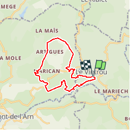


10.3 km | 13.8 km-effort


User


FREE GPS app for hiking
 SityTrail
IGN / Geographical institutes
SityTrail World
The world is yours!
Trail Walking of 13.5 km to be discovered at Occitania, Tarn, Le Vintrou. This trail is proposed by Pierre11.
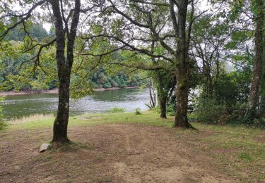
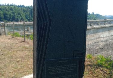
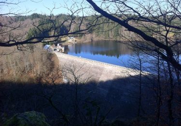
Depuis le petit village du Vintrou (81), balade sur le "PR" (en partie modifié) de la Fontaine d'Artigues :
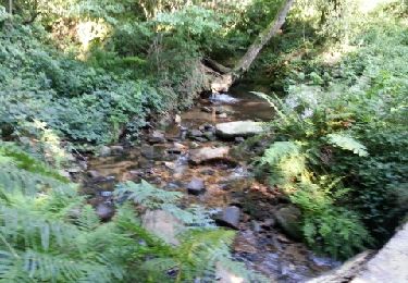
"De pistes forestières en chemins empierrés, ce parcours explore les hauteurs
de Pont de l’Arn où les pentes douces du plateau sont soudain entaillées en
vallons escarpés. Placée sous le signe de l’eau, la montagne y révèle des
richesses dont l’Homme a su tirer parti. Véritables aubaines pour le forestier,
les pluies et brouillards ont permis l’essor des hautes futaies qui agrémentent
le décor de la randonnée..."


Walking
Walking
Walking
Walking
Walking
Walking
Running

Walking
Mountain bike